ORIGINALLY PUBLISHED IN:
The Waterways Journal Weekly
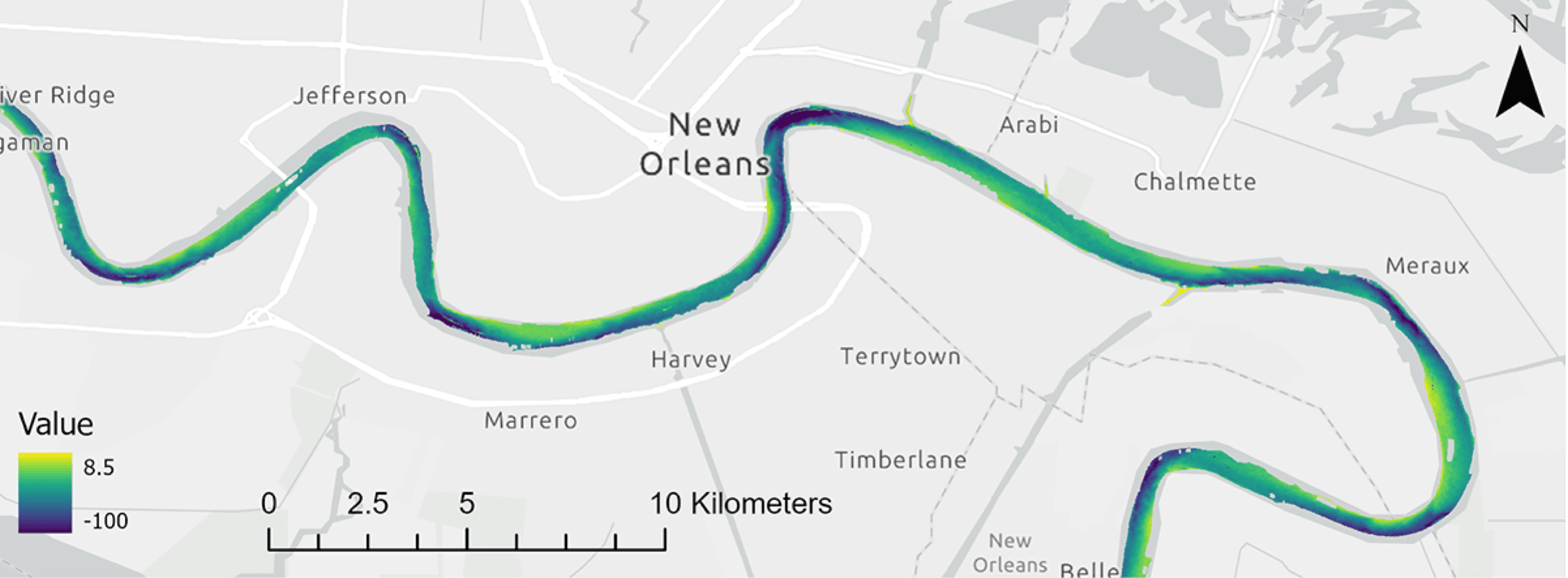
In December 2022, The Waterways Journal covered The Water Institute’s crowdsourced bathymetry (CSB) and modeling efforts under its SmartPort project—an effort to provide both near real-time and forecast channel conditions. That effort officially concluded in mid-2024, but it laid the foundation for something bigger.
Building on SmartPort’s success in the lowermost Mississippi River, The Water Institute has since expanded its mission, shifting from a focused pilot program to create a scalable effort that can provide comprehensive and timely assessments of available draft and bed elevation conditions throughout the nation’s inland waterway system. Read the full article here.