Louisiana Coastal Protection and Restoration Authority
Louisiana Coastal Master Plans
The Approach
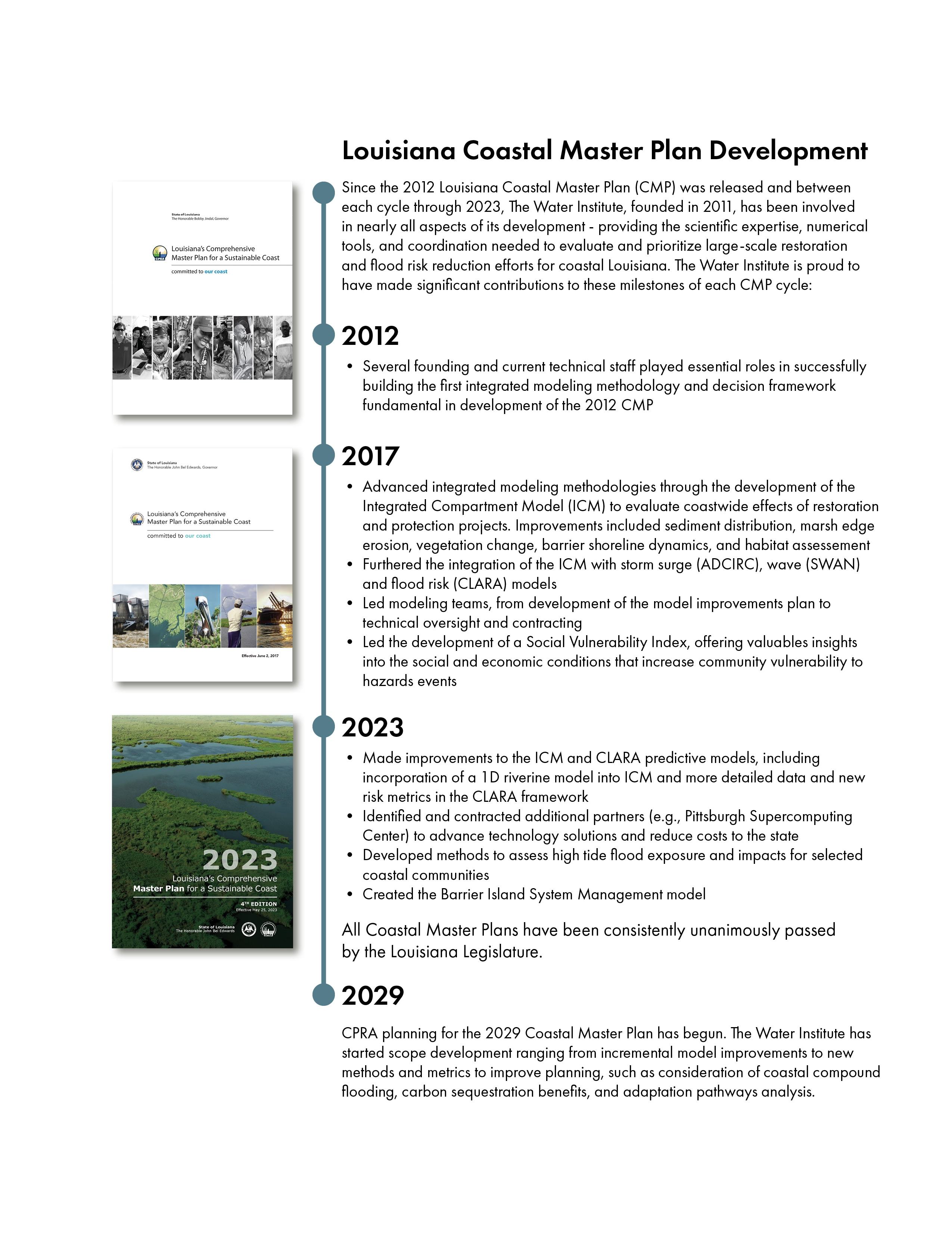
In each CMP, The Water Institute provided CPRA with the coordination, scientific expertise, and numerical tools needed to evaluate and prioritize large-scale restoration efforts for coastal Louisiana. The Water Institute worked collaboratively to co-develop the Integrated Compartment Model (ICM), Louisiana’s custom tool for predicting environmental changes within its delta and chenier plain wetlands. The ICM allows the state to look decades into the future through the use of interconnected hydrodynamic, geomorphologic, and ecologic (both vegetation and species habitat suitability indices) sub models. The Water Institute also updated the input datasets and boundary conditions, conducted an uncertainty analysis, and managed improvements to seven modeling components (sediment distribution, marsh edge erosion, vegetation, barrier shoreline, ecosystem outcomes, storm surge and wave, and risk assessment).
For the 2017 CMP, in addition to its model development and technical analysis role, The Water Institute managed the contracting and technical activities of the entire modeling team, which was comprised of a diverse set of academic, non-profit, and private institutions. The Water Institute enhanced existing and developed new and innovative numerical tools to yield a deeper understanding of Louisiana's current and future 50-year coastal environment.
For the 2023 CMP, the Institute supported CPRA in developing and updating the plan by:
• Leading the flood risk analysis including simulating thousands of possible storm events and updating the flood risk metrics and analysis methods within the CLARA risk assessment model to evaluate project effectiveness against tropical weather events of different sizes and intensities and identifies flood depths associated with different frequencies of inundation across the coast (e.g., the 100-year flood depth)
• Supporting CPRA in the continued development of the ICM model
• Leveraging ICM and other data and model outputs to evaluate possible nuisance/high frequency flooding impacts over the coming decades for multipole communities across the state
• Identifying and contracted additional partners (re: Pittsburgh Supercomputing Center) to advance technology solutions across modeling and data aspects of the program, while reducing costs to the state
• Leading the creation of the Barrier Island System Management (BISM) model, which is an ICM companion model framework focused on Gulf barrier shoreline morphology prediction over decadal timescales. Through The Water Institute’s multifaceted involvement in the 2023 CMP, we are uniquely positioned to understand the feasibility and alternatives analyses aspects of nature-based solution proposals aimed at increasing the resilience of coastal Louisiana in the coming decades.


